
Geo Connect Asia returns to the Sands Expo and Convention Centre in Singapore next March, for a two day exhibition and conference that its organiser bills as the region's strategic meeting point for geospatial and location intelligence.
The event runs across the Wednesday and Thursday, on the seventeenth and eighteenth of the month. The year is 2027. Doors open at half past eight on the first day and at nine o'clock on the second.
Montgomery Asia organises the show, which covers mapping, remote sensing, satellite navigation, digital twins, artificial intelligence and autonomous systems across underground, land, sea and air applications. The organiser states that the last edition drew more than 3,000 attendees and over 120 participating companies, with more than 180 speakers from over 40 countries and practitioners drawn from 19 industries.
The audience the organiser describes is a senior one: surveyors, engineers, chief technology officers and policymakers working in building and construction, defence intelligence, government services, critical infrastructure, mining, maritime and ports, and smart cities. That spread is the reason the show matters to an executive readership rather than only to a technical one, because geospatial data has moved from a surveying speciality into infrastructure planning, insurance underwriting and sovereign digital strategy.
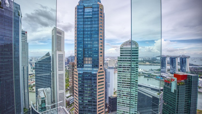
Singapore's position as the host is not incidental. The city state has made location intelligence part of its national digital infrastructure, and the region's ports, shipping lanes and land reclamation programmes generate exactly the kind of continuous spatial data the sector sells into.
One caution for anyone planning a visit: the organiser's site still carries navigation items and a copyright line from earlier editions alongside the current dates, so confirm hall and programme details directly with Montgomery Asia before booking.